Leica Zeno Field is a powerful software solution for GIS data management, GNSS raw data logging, and feature accuracy management. With its intuitive interface and automated workflow, Leica Zeno Field simplifies the process of moving data between the field and office.
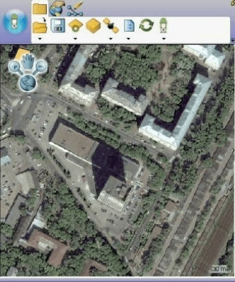
Leica Zeno Field is an OEM version of ArcPad 10 and provides in addition to the well known ArcPad functionality: GNSS raw data logging, easy handling of GNSS configurations (such as DGPS settings), feature accuracy management and an automated workflow between the field and office. Together with Zeno Office easily manage feature quality over time and benefit from automated import and export functions to a wide range of different formats such as ArcGIS geodatabase, shapefile, dxf, dgn, and dwg.





Comments